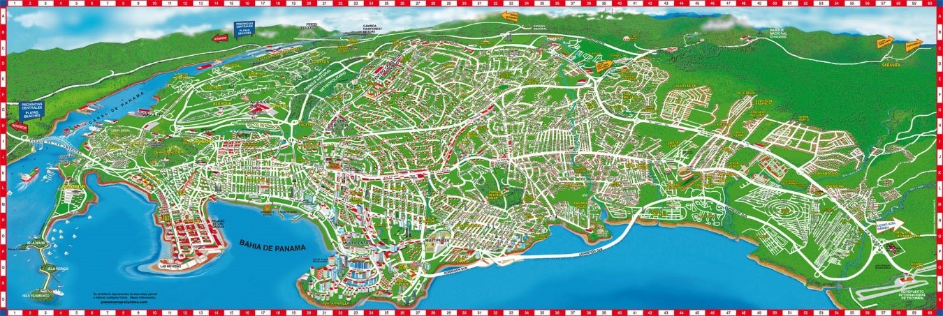
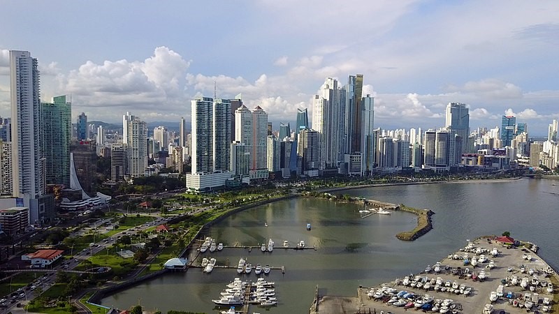
Panamá City is the capital of the Republic of Panamá, province of Panamá and capital of the district of Panamá. It is the fourth most populous city in Central America and the largest in Panama. This metropolis has 430,299 inhabitants in the center of the city, 880,691 inhabitants in its municipality and 2,011,780 inhabitants in the metropolitan area, which includes several jurisdictions such as Panama City and the city-district of San Miguelito. It is located on the shores of the Gulf of Panama, on the Pacific Ocean, east of the entrance of the Panama Canal.
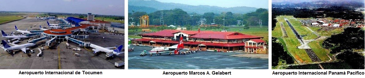
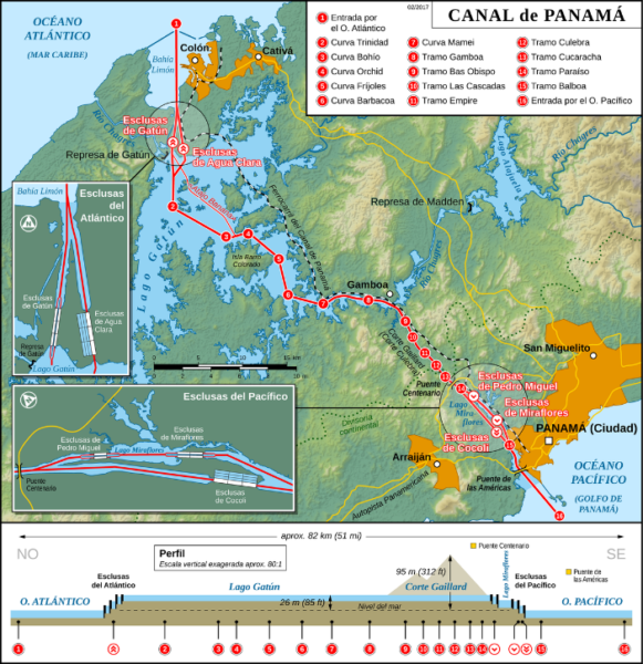
Founded on August 15, 1519 by the Spaniard Pedrarias Dávila, near a Cueva barn called Panamá, it currently covers 2561 km². As the capital of the republic, it hosts the seat of the National Government, like other government institutions and many duly credited embassies and consulates. It is communicated by the Port of Balboa, Tocumen International Airport, Marcos A. Gelabert Airport, Panamá-Pacífico International Airport, the Pan-American Highway and a Trans isthmic Highway (Panamá – Colón Highway), which unites on 78,9 km the city with the Caribbean coast.
The city is the main cultural and economic center of Panama. It has intense financial activity and a banking center; it occupies the second position of the 2013 version of the classification of the most competitive cities in Latin America. The Panama Canal and tourism are also important sources of income for the economy of the city, which has a tropical climate. Due to this climate and in addition to its urban development, large international hotel chains and an American influence in certain areas, it is known to the world as the “Miami of the Americas”.
Geography
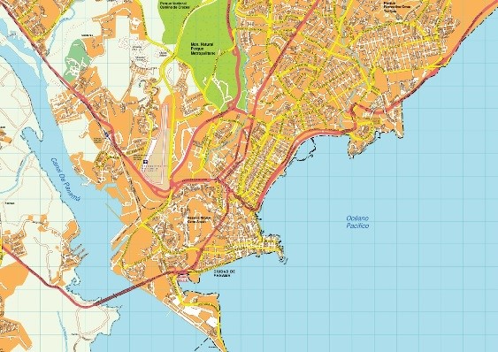
Panama City has grown physically while expanding; due to the narrowness caused by the old area of the Canal and the Bay of Panamá, which generated an extensive road infrastructure towards the North-East. The city begins at the entrance to the canal and at the edge of the Pacific Ocean, 0 meters above sea level, its lowest elevation, and it stretches east and north, in an area flat and ventilated, which gradually rises to an average attitude of 30 meters on the sea level. With an average extension of 100 km² (16 km – 7 km), its highest point being the ¨Cerro Ancón¨, whose top is the flag of Panama, can be observed from the city.
Hydrography
The city is crossed by 8 rivers: Cárdenas, Curundú, Matasnillo, Matías Hernández, Río Abajo, Juan Díaz, Tapia y Tocumen.
Weather
The city has a subequatorial tropical climate. Annual precipitation averages 2,000 mm, an average humidity of 75% and an average temperature of 27 °C.